Warning: Undefined array key "titleWrapper" in /home/takeqvnk/afaanoromoo.com/wp-content/plugins/seo-by-rank-math/includes/modules/schema/blocks/toc/class-block-toc.php on line 103
Oromia: History and Geography of the Oromo Country
Oromia: Africa’s Diverse Heartland and Cultural Hub
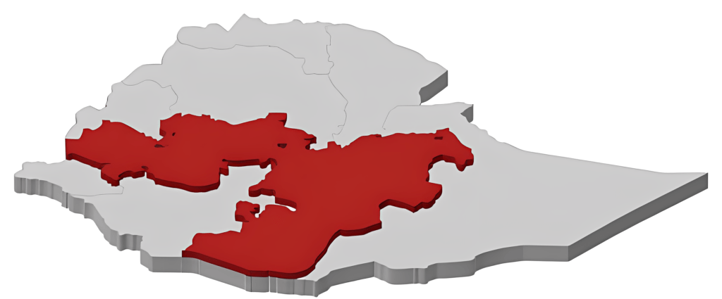
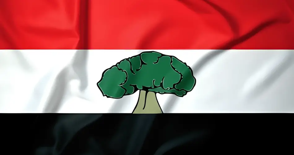
The country of the Oromo is called Biyya-Oromo (Oromo country) or Oromia (Oromiya or Oromiyaa). Oromia is a name given by the Oromo Liberation Front to Oromoland, now part of the Ethiopian Empire. Krapf (1860) proposed the term Ormania to designate the nationality or the country of the Oromo people. This, most probably, originated from his reference to the people as Orma or Oroma. Oromia was one of the free nations in the Horn of Africa until its colonization and occupation by Abyssinia at the end of the nineteenth century.
It is approximately located between 2 degree and 12 degree N and between 34 degree and 44 degree E. It is bordered in the east by Somali and Afar lands and Djibouti, in the west by the Sudan, in the south by Somalia, Kenya and others and in the north by Amhara and Tigre land or Abyssinia proper. The land area is about 600,000 square kilometers.
Out of the 50 or so African countries, it is exceeded in size by only 17 countries. It is larger than France, and if Cuba, Bulgaria and Britain were put together, they would be approximately equal to Oromia in size.
Table of Contents
Oromia: Land, Rivers, and Unique Ecosystems

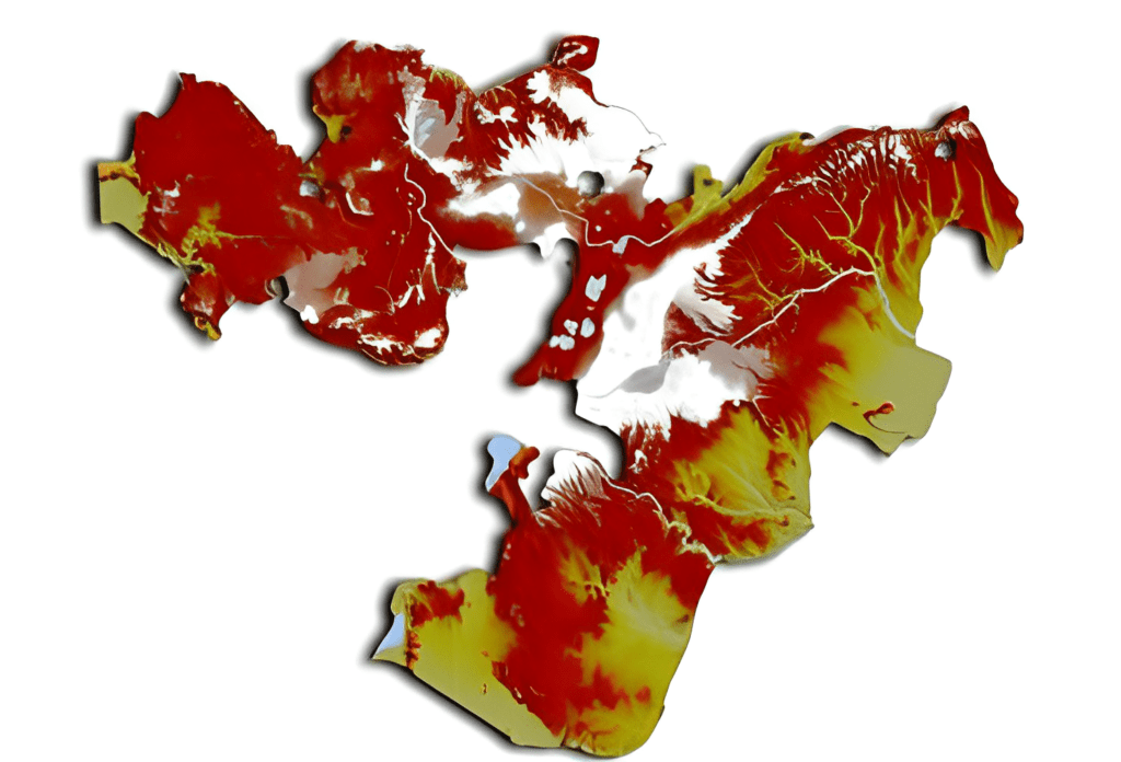
The physical geography of Oromia is quite varied. It varies from rugged mountain ranges in the centre and north to flat grassland in most of the lowlands of the west, east and south. Among the many mountain ranges are the Karra in Arsi (4340 m), Baatu in Baale (4307 m), Enkelo in Arsi (4300 m), Mul’ataa in Hararge (3392m) and Baddaa Roggee in Shawa (3350 m).
Similarly, there are many rivers and lakes in Oromia. Many of the rivers flow westwards into either the Blue Nile or the White Nile, and others flow eastwards to Somalia and Afar land. Among the large rivers are the Abbaya (the Nile), Hawas (Awash), Gannaalee, Waabee, Dhidheessa, Gibe and Baaroo.
For the peoples of Egypt, the Sudan and Somalia, life would be impossible without these rivers. They carry millions of tons of rich soil to Egypt, the Sudan and Somalia every year. Somalia depends heavily on the Gannaalee (Juba) and Waabee (Shaballe) rivers which come from Oromia. In fact Oromia supplies almost 100 per cent of the fresh water for Somalia, Djibouti and Afars.
At present the Ethiopian government depends heavily on Hawas (Awash) water as a source of electric power for its industries and irrigation water to grow sugar cane, cotton and fruits. The Wanji and Matahara sugar estates are good examples. There is a great potential in all these rivers for the production of electric power and for irrigation.

Qoqaa, Fincha, Malkaa Waakkenne, Gibee Tiqqaa dams are examples of where hydro-electric power is already being produced or in the process of being harnessed. Among the Oromo lakes are Abbaya, Hora, Bishofitu, Qoqaa, Langanno and Shaalaa. Many of these lakes possess a great variety of fish and birds on their islands and shores.
Oromia: Climate
The climate is as varied as the physical geography, although close to the equator (to the north of it), because of the mountain ranges, high altitudes and vegetation, the climate is very mild and favorable for habitation. Snow can be found on the mountains such as Baatu and Karra. In the medium altitudes (1800-2500 m) the climate is very mild throughout the year and one of the best. Up to 80% of the population lives at this altitude and agriculture flourishes.
Oromia Rich Tapestry: From Mountains to Savannahs
The low altitude areas (below 1500 m) in west, south and central part are relatively warm and humid with lush tropical vegetation, and although few live there permanently, most graze their cattle and tend their beehives there. Although there is little agriculture at this altitude at present, it has great potential for the future.
As the highland areas are already eroded and over populated, people are gradually moving to the lowlands. The low altitude areas in the east and south-east are mostly semi-arid and are used by pastoralists seasonally.

The vegetation of ranges from savanna grassland and tropical forest to alpine vegetation on the mountaintops. The forests contain a variety of excellent and valuable timbers. Oromia is known for its unique native vegetations as well as for being the centre of diversity for many different species. For instance, crops like coffee, anchote (root crop), okra, etc. are indigenous to this area.


